Cameroon government increases budget for livestock, aquaculture value chains
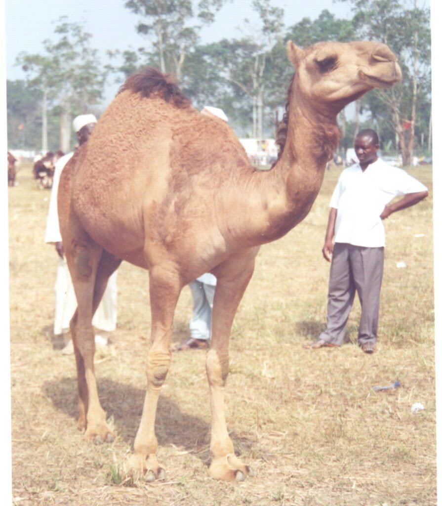
Camel growing in Cameroons North region for meat consumptionCameroon government increases budget for livestock, aquaculture value chainsBy Elias Ngalame Download PDFThe Cameroonian government has…